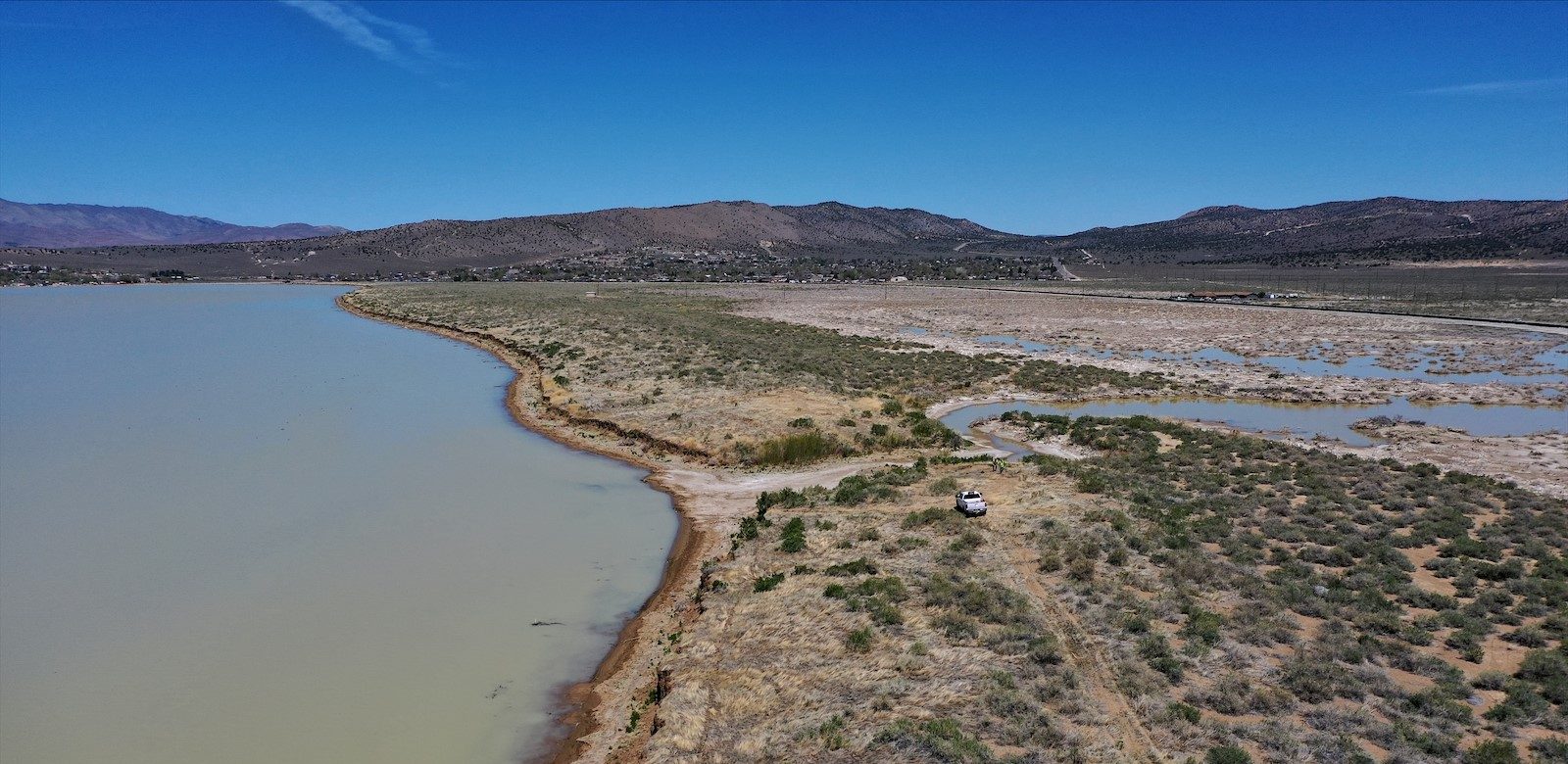
Washoe County and FEMA update Swan Lake and Silver Lake floodplain risk maps using latest mapping technology to inform residents of flood risks
Washoe County, in alignment with the Federal Emergency Management Agency (FEMA) requirements and obligations, has updated flood hazard information using the latest data and mapping technology in the Swan Lake and Silver Lake areas of Washoe County. The remapping effort focuses on updating the FEMA Flood Insurance Rate Maps (FIRM) that identify the 1 percent risk (100-year) flood risks around Swan Lake and Silver Lake. This is one of several areas in Washoe County to be analyzed and remapped.

