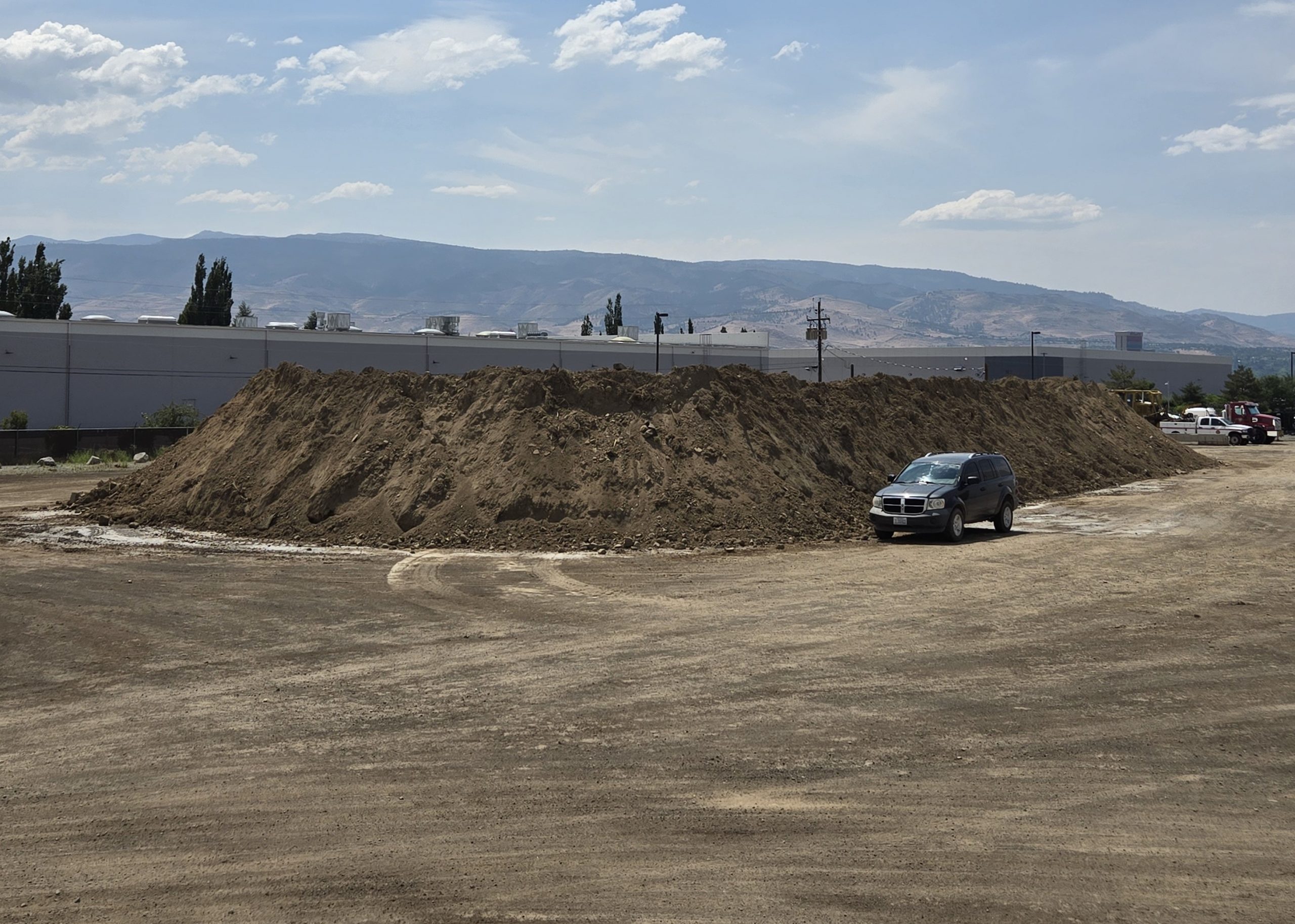
Washoe County Roads crews cleared nearly 16,000 cubic yards of mud and debris from the Hidden Valley neighborhood after a flash flood on July 21. Approximately 100 homes were affected by the flood.
Washoe County Community Services Department (CSD) cleared roads while the Red Cross conducted damage assessments on and assisted residents in identifying resources they need to make their homes more habitable, particularly those whose insurance will not cover damage from the flood and debris. Team Rubicon also monitored the situation for potential response.
“We quickly pulled resources together through our Regional Emergency Operations Center and were able to quickly deploy crews in 12-hour shifts to clean up the damage,” CSD Director Eric Crump said. “We know that it will take time to repair all of the damage, but our No. 1 priority is safety and accessibility, and we are grateful that there were no injuries in this flood event.”
The National Weather Service confirmed that a resident’s home weather station recorded a downpour the equivalent of a 200-year flood. 1.3 inches of rain fell in the span of 45 minutes. This means that this level of storm only has a 1:200 – or .05 percent – change of happening in any given year.
After a week of cleanup, CSD hauled 15,800 cubic yards of debris from the neighborhood and stored 5,000 cubic loads in its Roads yard – the equivalent of 600 truck loads. CSD additionally removed 10,800 cubic yards of mud and debris from Hidden Valley Regional Park, which bore the brunt of the debris flow.
The park remains partially closed due to damage and heavy equipment traffic, but CSD crews have prioritized areas that receive the most use from residents and will reopen as these areas are repaired. We expect limited Park access to open late next week. Followed shortly with the dog park, tennis courts, playgrounds, and bathrooms opening in phases after that.
A list of contractors that have the capacity to assist homeowners is listed on the Emergency Washoe website: https://www.emergencywashoe.com/flooding/6532/.
To see real-time road and area closures due to emergencies, residents can visit Emergency Management’s Dashboard of Regional Agencies (DORA), which displays information and alerts from Perimeter Map, the National Weather Service, NV Energy, air quality, road conditions, and more.


